Patterdale to Shap
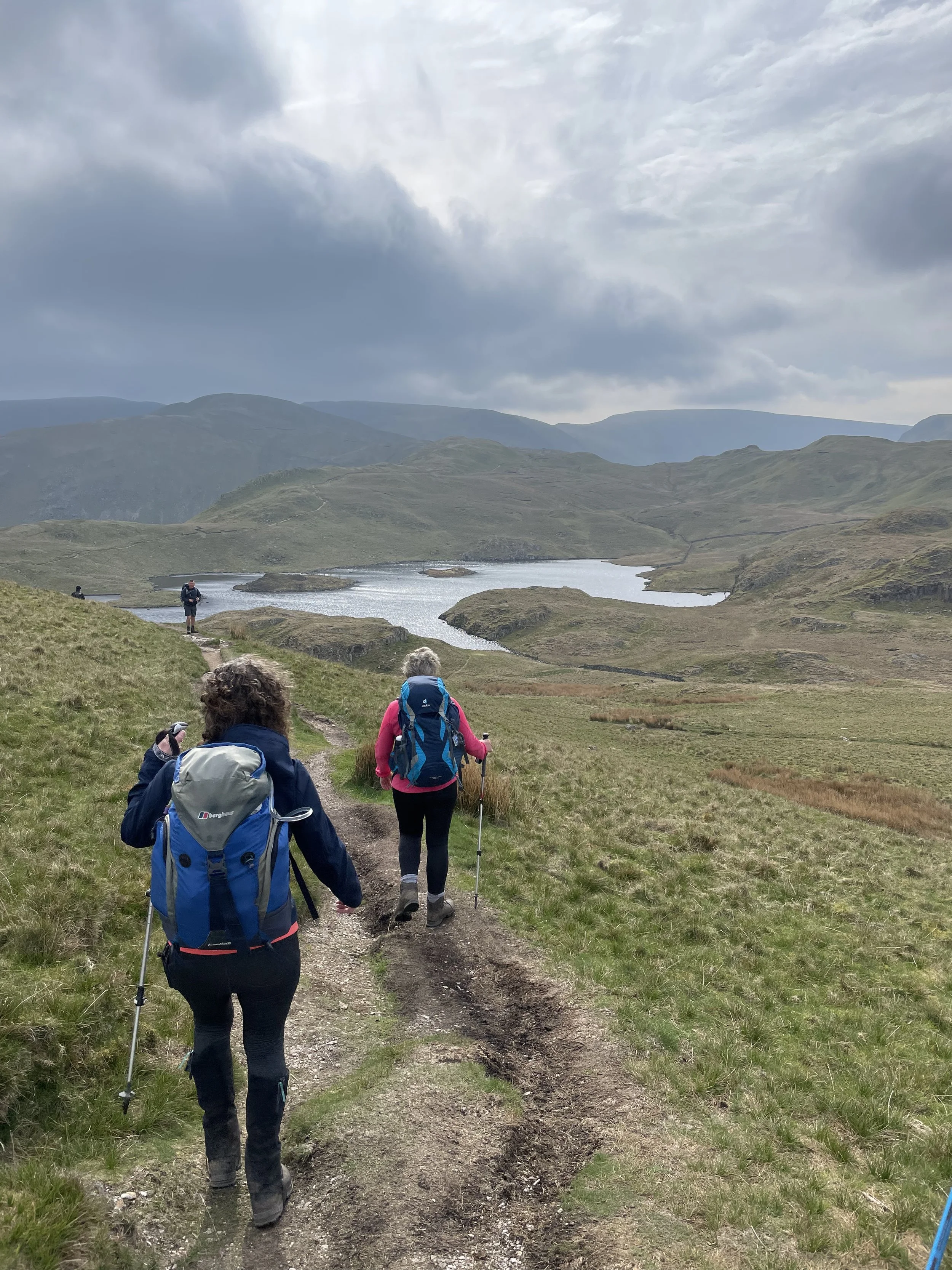
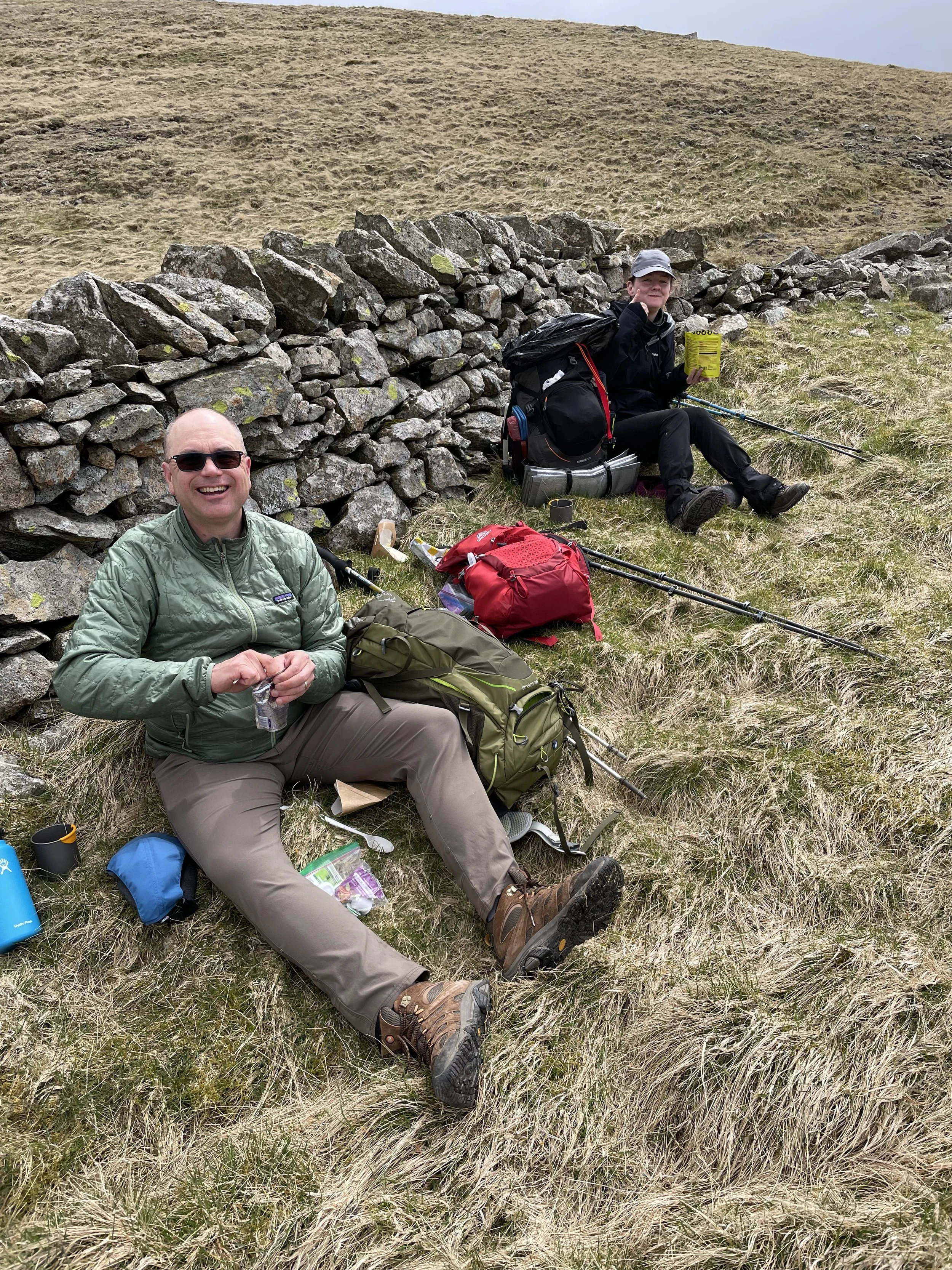
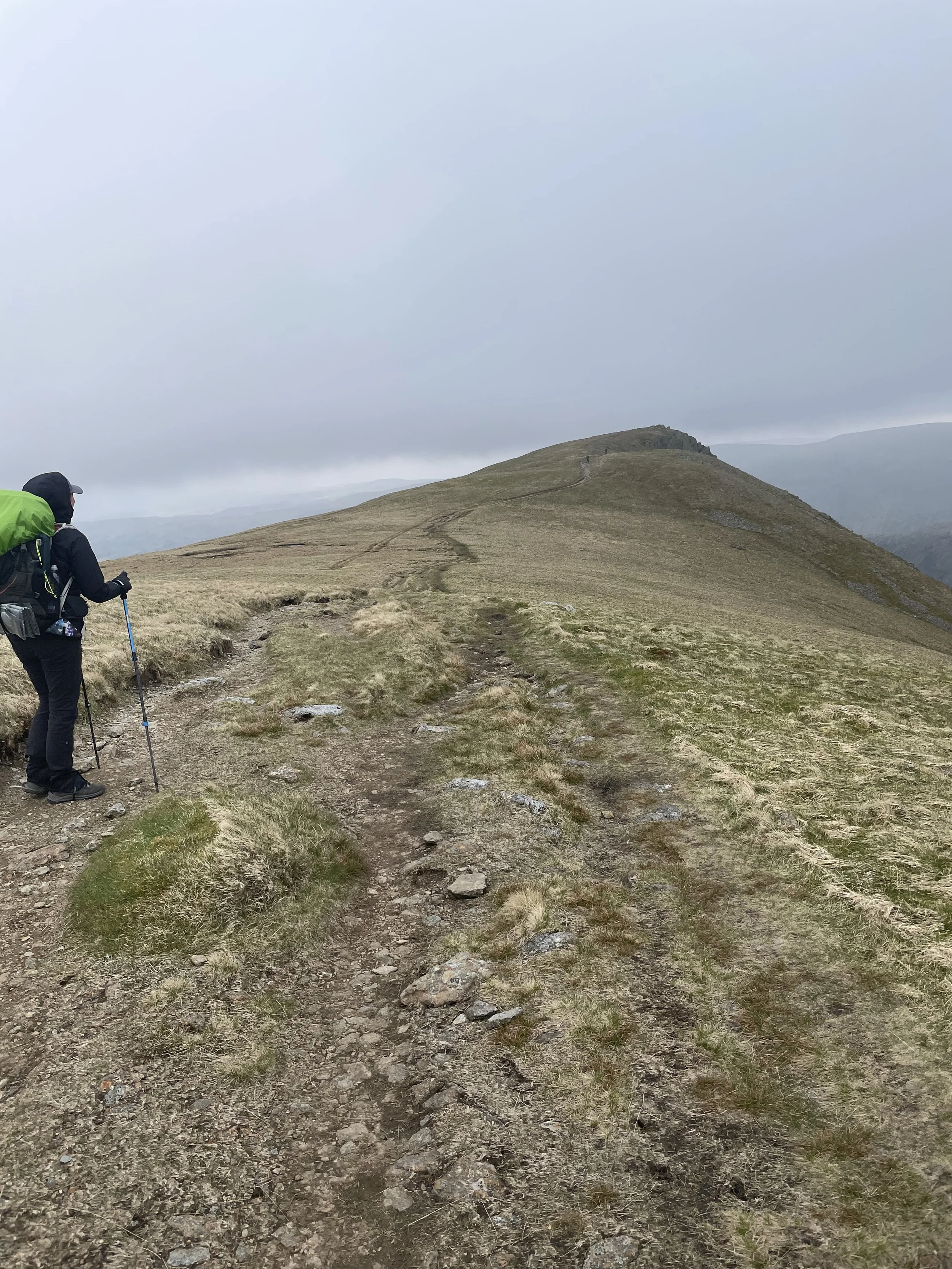
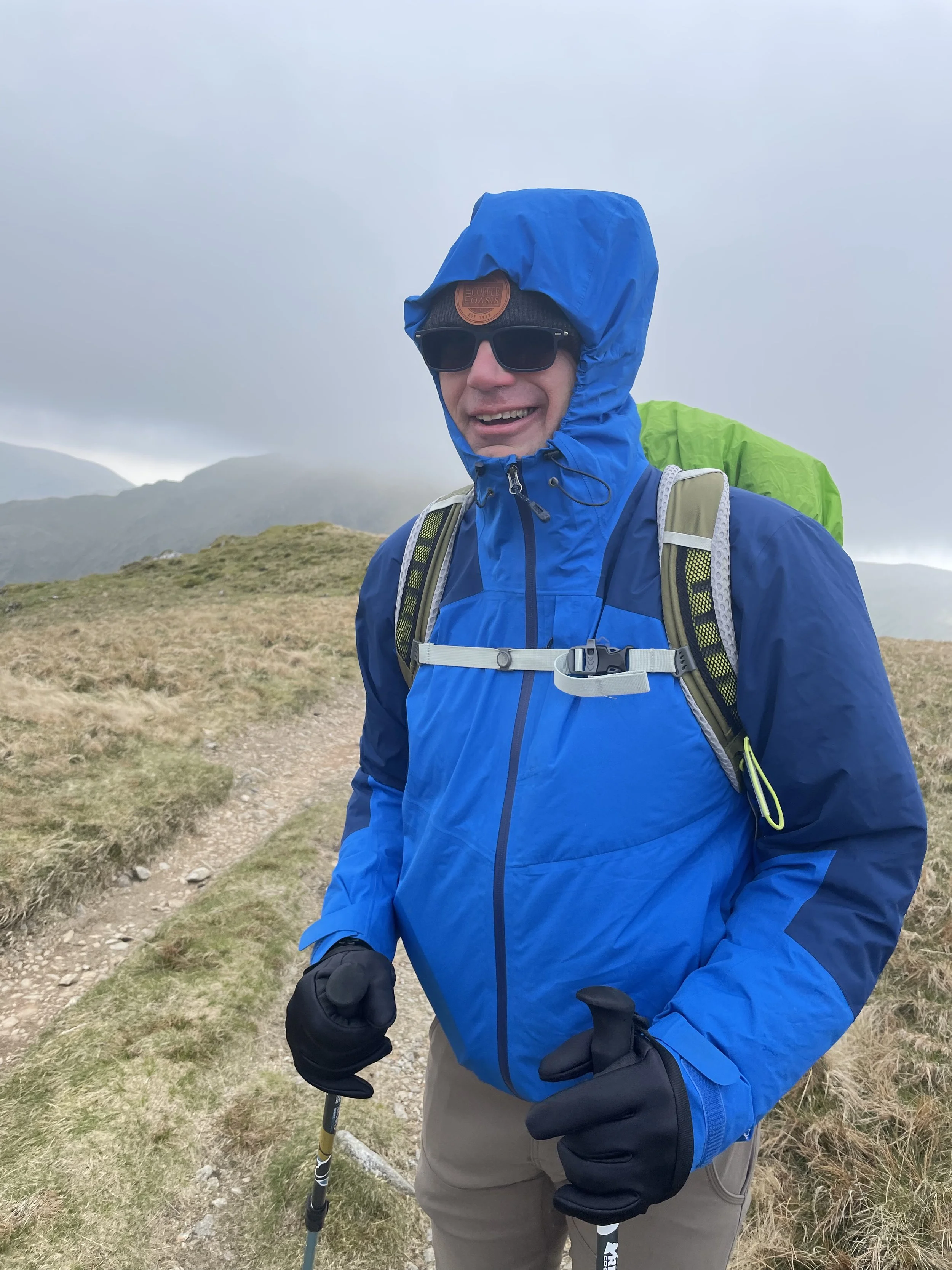
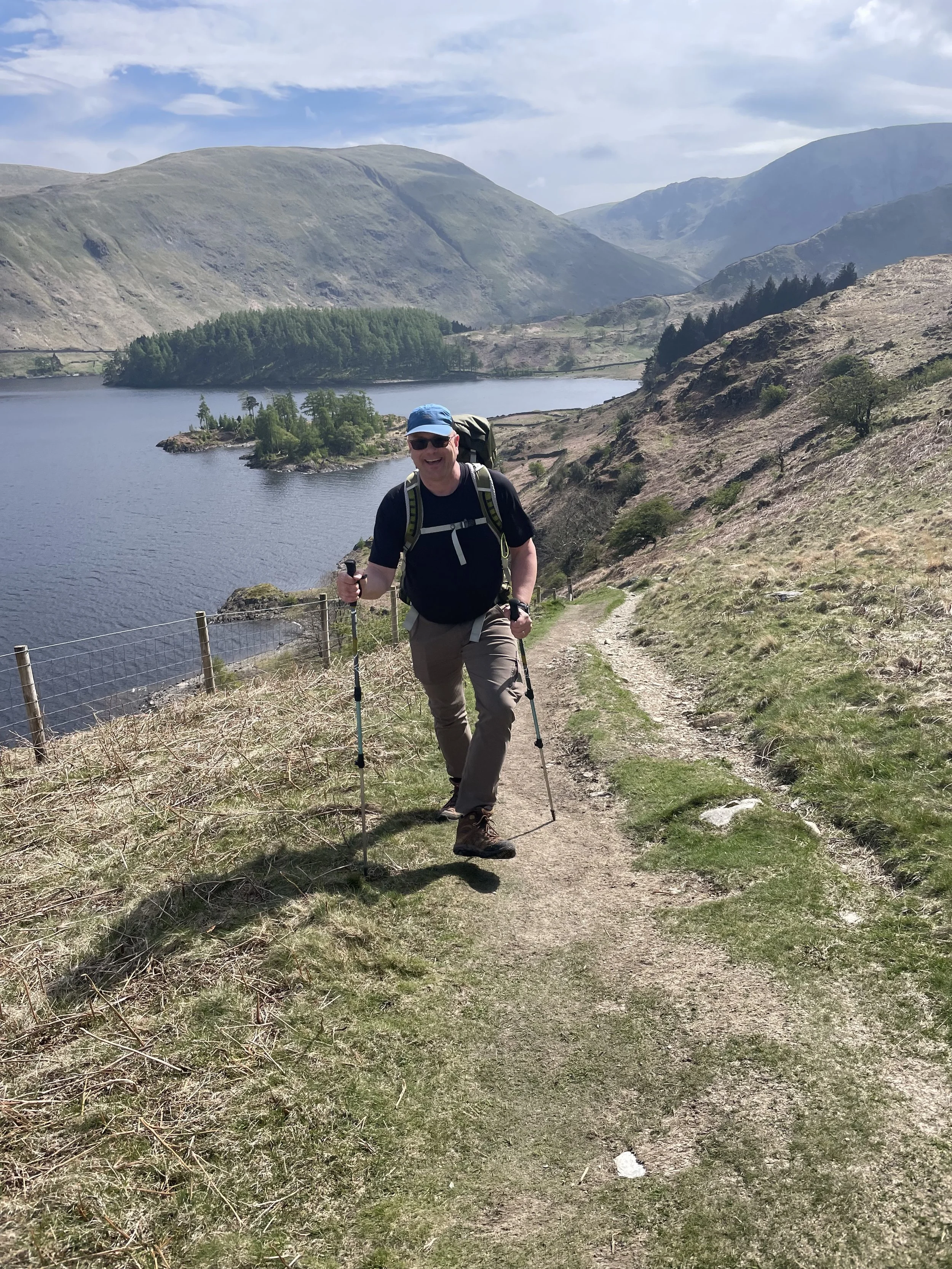
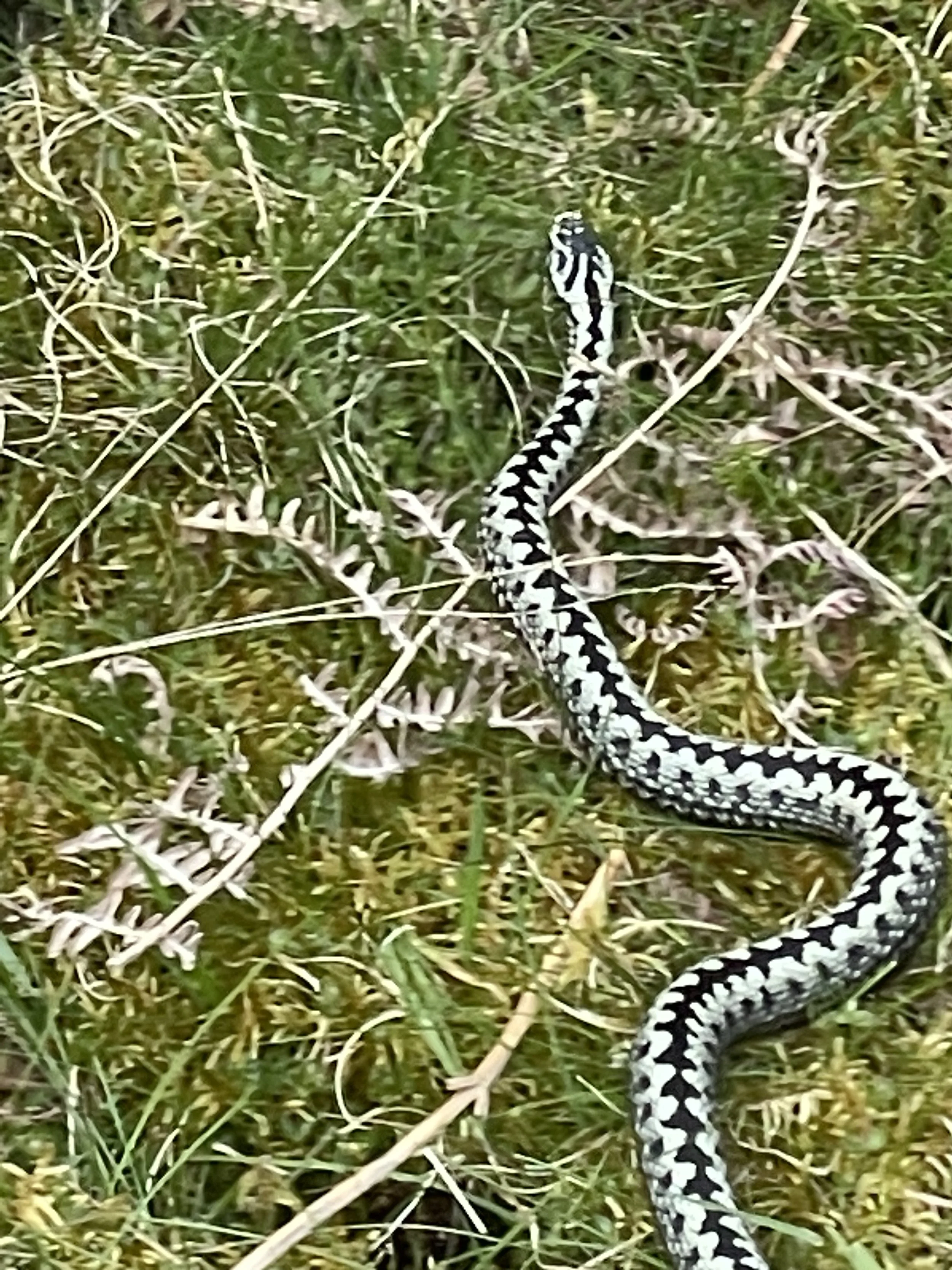
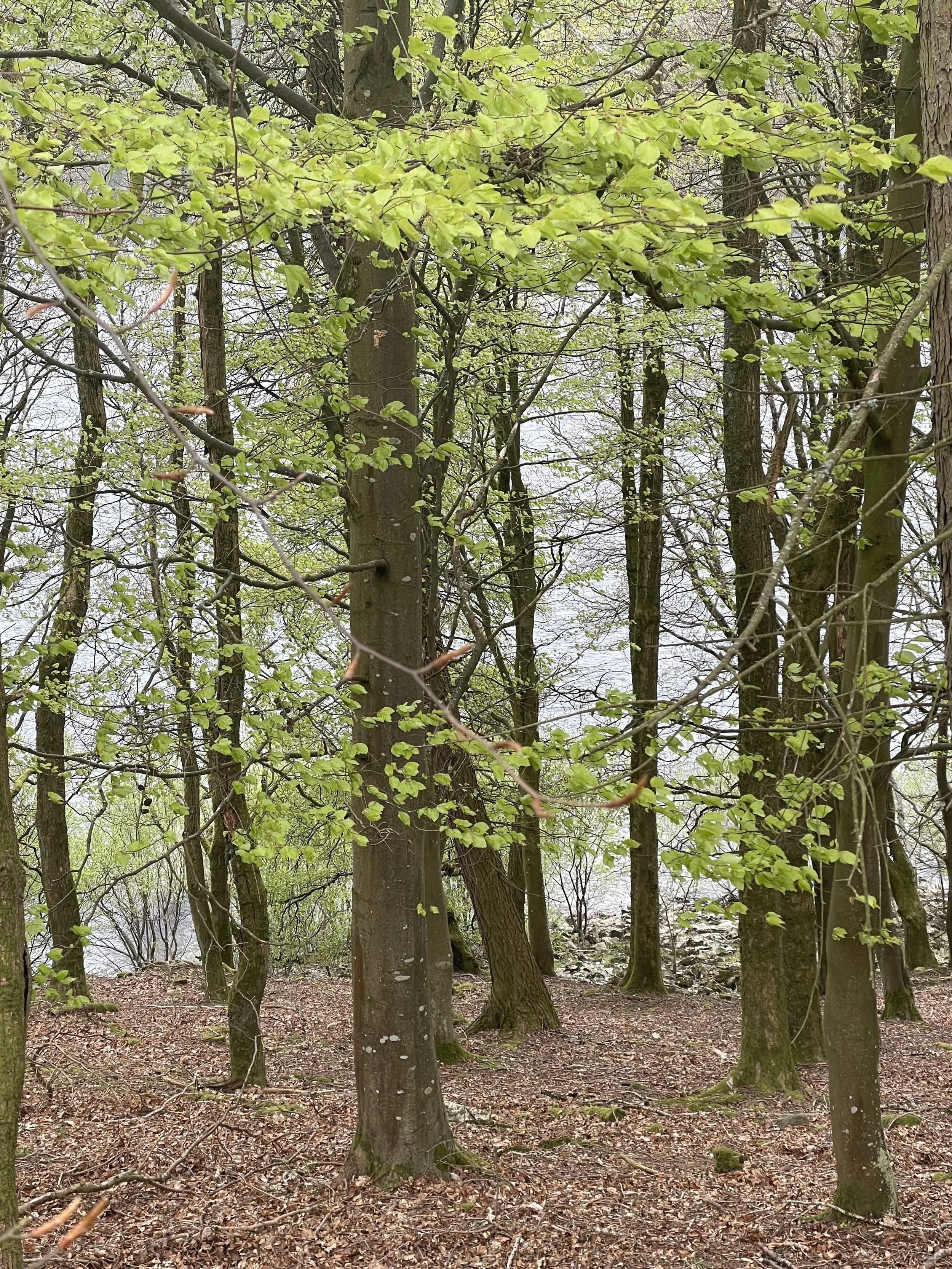
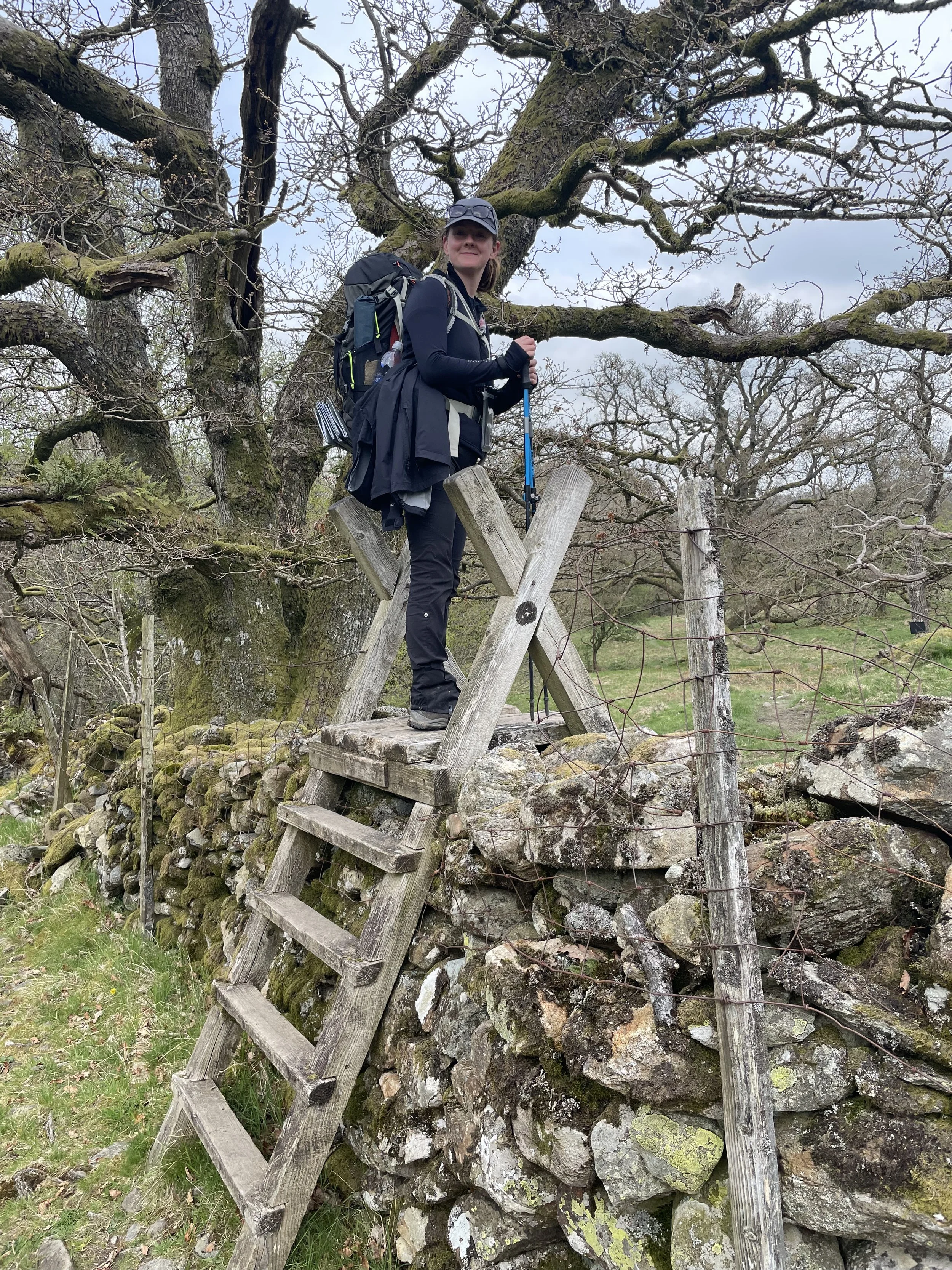
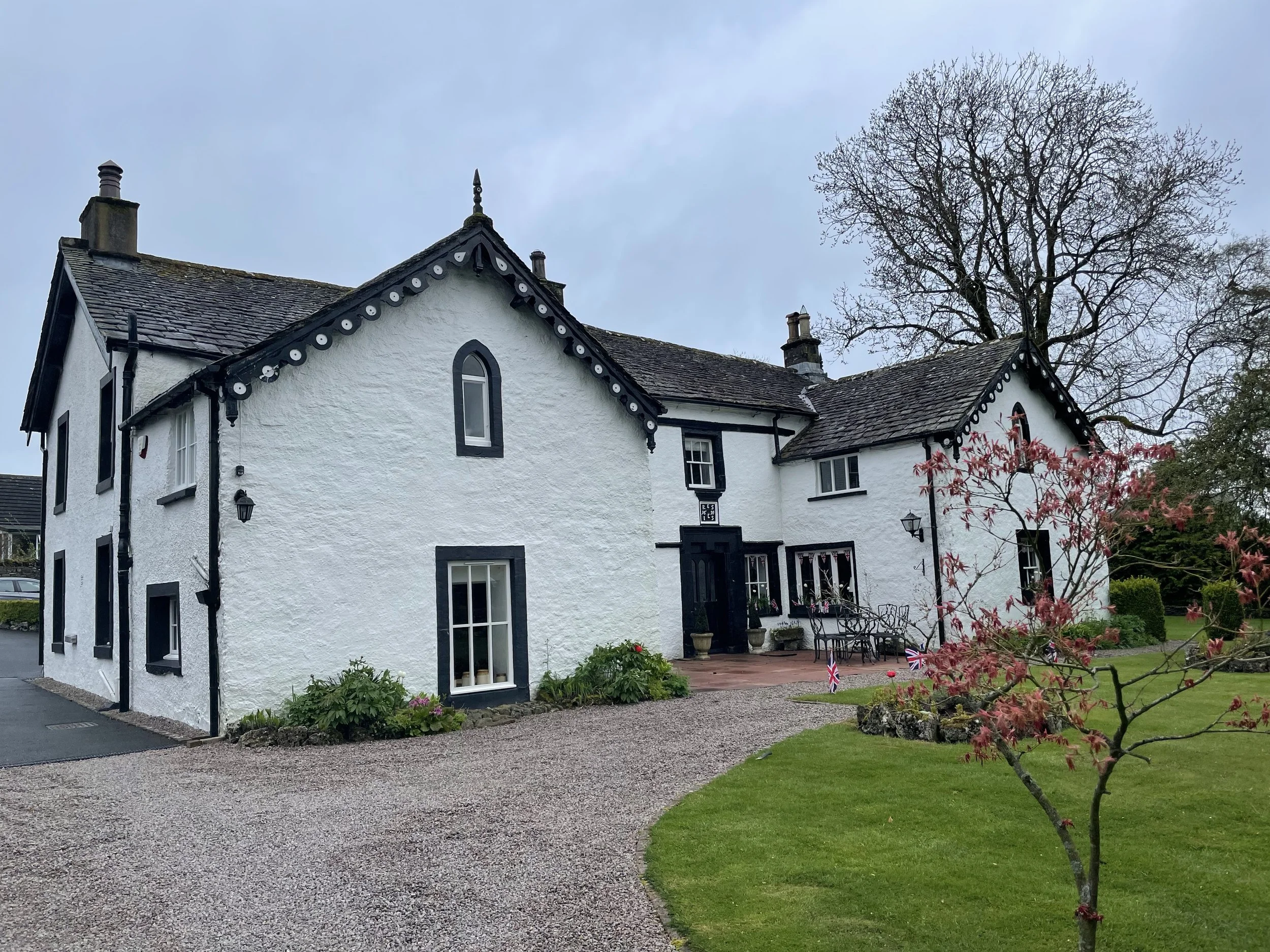
Today we steeled ourselves for our first 16-mile day- not just the longest, but also the most elevation, including up and over highest point on the trail, Kidsty Pike. The beginning was like many of our up-and-overs before but this more up and then flat, up and then flat, like a stair-step on rocky, bouldery dirt with tufts of grass. It was a cloudy day with some filtered sun and no rain with fog threatening the heights. It was chilly, maybe upper 40s/low 50s and dropping as the wind chill picked up. The land became more and more desolate the higher we climbed, and even the sheep abandoned it for warmer, lower regions. The wind became pretty unbearable for sitting and opening our packs for lunch until we came upon a dry stone wall and hopped around the backside to be in the lee, and also to have something to lean against. Perfect! Rachel was even able to fire up her stove for her freeze-dried chicken fajita! After lunch, we braved the blow squishing us up and into the peaks from the valleys so far below. I would take a step with right leg and it would land across my left and send me wobbling. I would pick up my right walking pole and the wind would take it across my body to land somewhere around my left hip and I’d then walk straight into it- not a very successful way to walk. At one point Rachel stopped and leaned straight into the wind and yelled at it, “This is DAN-GER-OUS!” Tom and I doubled over giggling as we tried to keep my pack cover from ripping off and turning me into a parasail. Zig-zagging along the sides of sweeping tundra peaks and saddles, we finally reached the summit of Kidsty Pike and danced, cheered and high-fived. After an amble down the backside, we soon encountered a steep, sit-on-your-butt and pick your way through a rocky shoot (one more spot where some switchbacks would have been a smarter alternative!), straight down for what seemed forever to Haweswater Resevoir- more high-fives for making it to flatter terrain. Across a creek and waterfall and once again among lake-lined rolling wooded sections of terrain for the next 4 miles as we followed the length of the lake, we warmed up and shed layers. Two surprises on this section delighted us- and we would have had no clue about the existence or importance of either unless Rachel were with us. Suddenly she squealed and hopped and exclaimed “Adder, adder, adder!” At first, knowing an adder is a snake, I assumed her strong reaction was meant to alert us to danger. Ready to run, use my pole as a spear, or stay stock still (Is an Adder like a bear? Do we get big and yell “Hey Adder!” Or like a mountain lion and look away and get small and still?) But there was just a hint of joy in her screams. Yes, that was it; she was excited! Turns out Adder are very rare and hang out in this exact environment- in dead brown Bracken Fern fronds sunning themselves. It was not a big snake, maybe half to 3/4 inch in diameter and a very pale blue with a black pattern that looked just like the dead fern pattern- see pic below. Apparently, this was a hugely rare sighting- very cool to be a part of it! The second surprise was she spotted Red Deer way up on the high top hillside near some sheep. Too far for a picture. Rachel said she’s only ever seen them in Scotland. After what seemed an eternity of hiking, we arrived at the reservoir dam at the end of the Haweswater, and ahead we could see the terrain change to the green checkerboard of English farms, signaling effectively the end of the Lake District. Many of us Coast to Coasters approached this part thinking, ok, we’re almost done today, surely Shap is in view. But noooooo! The hours of plodding forward continued as we entered rolling cattle land along an oak lined river, then up over stiles and across sheep grass to yet another stile or gate. More grass, more hills, more bogs. Our weary bodies were numb and our weary eyes had a little lift when we spotted a whole pack of lambs frolicking together, playing hide and seek and tag, a veritable lamb kindergarten, while the ewes stood spread out all over munching on grass, not the least interested. At the ruins of Shap Abbey, signage said we were still 3/4 mile from Shap and Rachel said feeling at about 1 out of scale of 10. We were all grumpy and just done. At 6:45pm, about 9+ hours after we set out, we finally arrived, threw our things in our places and nearly ran to the famous Shap Chippy Shop for fish and chips that we ate with Rachel at her hostel stay because we had to order take away. At last, to bed!!!