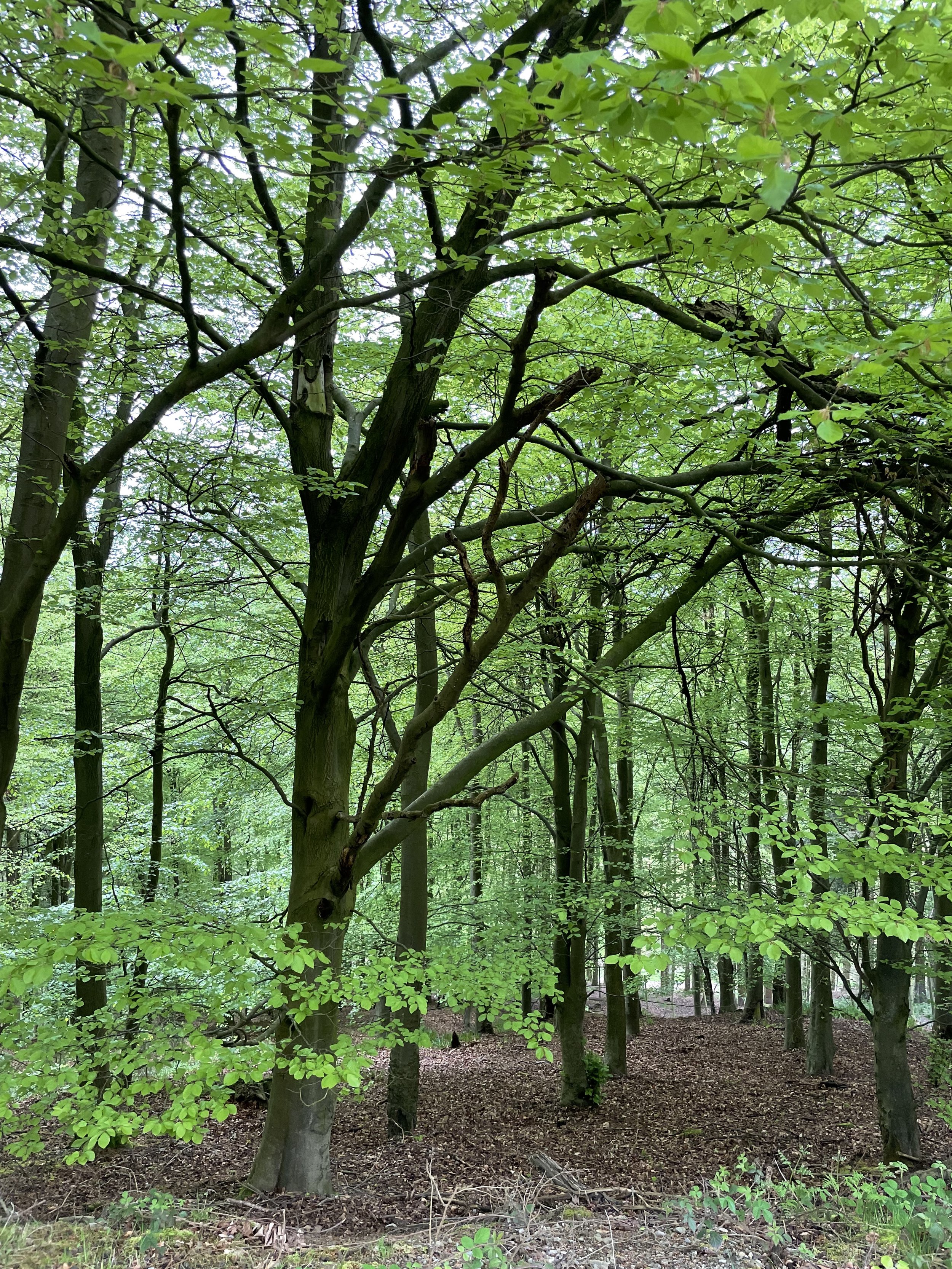
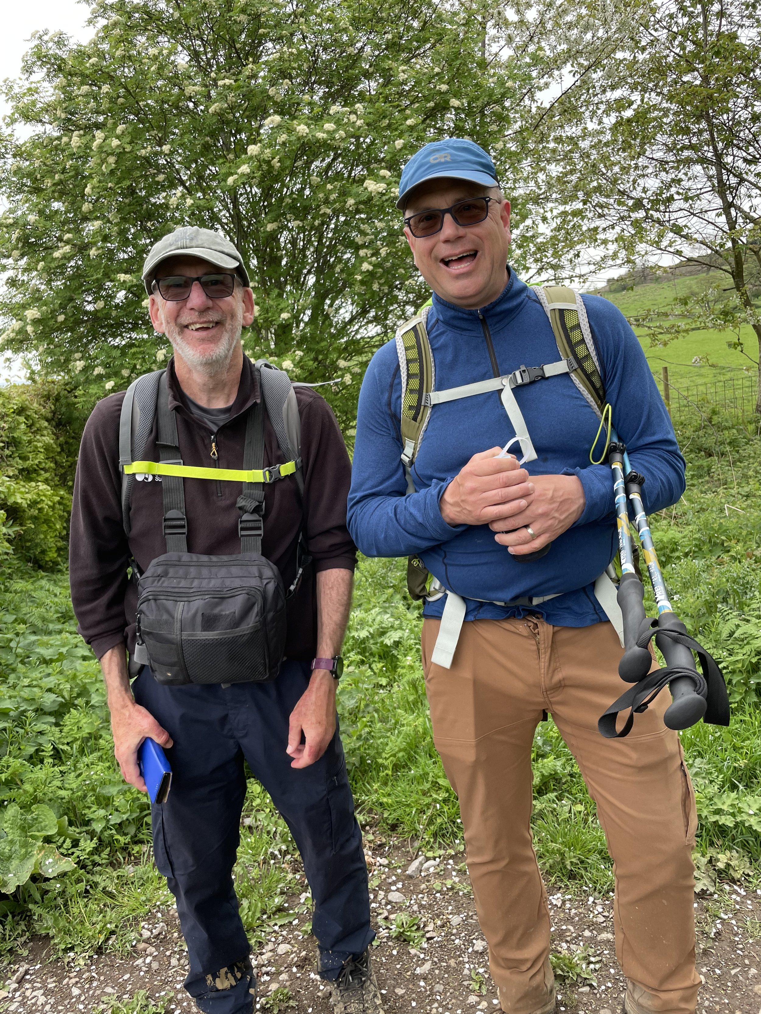
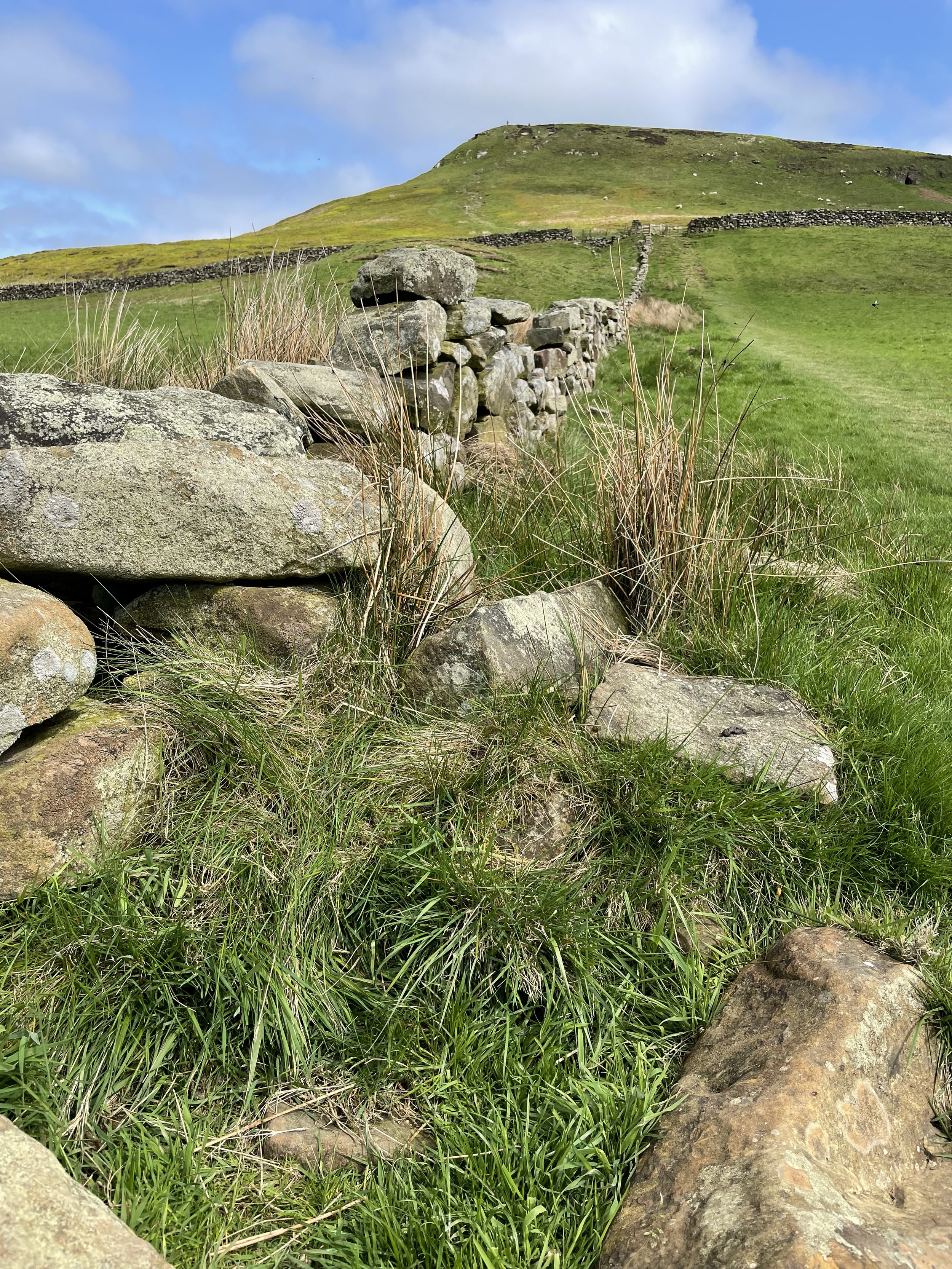
Ingleby Cross to Clay Bank Top
Morning came too quickly as is often the case. Getting out of bed on this journey can be a chore. But after another over the top breakfast, we set out about 8:45 in the woods and winding up a dirt road. After about a mile, we could say goodbye to the yellow canola fields and slippery cow pastures as we entered the high moors at about 1,000 feet elevation, blanketed with brown scruffy heather and grasses. We tried to picture what it would be like in August when the heather is in bloom- purple everywhere. But on a walk like this you would trade a cool 55 degree day like today (ideal for long walks) for something much warmer. Fog was gone but non-threatening clouds promised to burn off by 2pm, a perfect day for hike in the moors! Another bonus in this section was instead of slogging our way through bogs like we did back at the Nine Standards, we happily followed a dry gravel and stone paver trail the whole way. At breakfast our friend Ian, who works for OS maps, one of the authority maps and gps systems for the Coast to Coast, informed us that the total elevation today would be comparable to the 16-mile day we hiked from Patterdale to Shap over our highest point on the trail, Kidsty Pike. Yikes! However, today’s route resembled lots of ups and downs in roller-coaster fashion- steep ascents of 3-400 feet and back down about 4 times as we hugged a high moor ridge. Thankfully, my knees which had been experiencing nightly swelling and pain, were feeling remarkably chipper. From what I understand, we are skirting the northern edge of the North Yorkshire Moors National Park and so the bulk of the vast area of this beautiful and desolate place carries on quite a ways south. Today is Saturday, so we’re seeing more on the trail, and in new capacities. We passed our first horses and mountain bikers and saw many more trail runners, day walkers, kids and elders than ever before. We even met a backpacker doing the Coast to Coast going in the other direction. While in the midst of all this lively 2023 activity, we almost missed a grave site next to the trail that looked just like all the other cone-shaped piles of stones (cairns) that walkers had made as trail markers. But this one had a plaque across the trail from it saying it was a grave site from the Bronze Age, dated sometime around 2,000 BC- and please not to add or take stone away from it. OK! Glad we saw the little plaque! Stopped at Lord Stones restaurant/coffee shop/gift shop/campground/picnic area for a coffee and to eat our pack lunches we get most mornings from the inns we stay at the night before. Ian was there and waved us over to share his picnic table. Sun came out slowly and it was a treat to eat outside. Lord Stones is a fun, quirky undulating stone building that our host last night said was built in to the hillside. It’s not, but it’s pretty cool anyway. Carried on a few more miles, including one more couple hundred foot summit and a pass through of the Wainstones- a section of rock outcroppings jutting out of the hill popular with climbers. Arrived after a sharp stone step descent to a road and an area called Clay Bank Top, which, from what I could immediately see, was not a clay bank or a top, where we met a staff from the Wainstones Hotel to drive us the 2 miles north down into the valley in the town of Great Broughton, where we were staying for the night. Our room was quite small and and the meals were unremarkable and sometime in the night, Tom began wrestling with a tummy bug. Tomorrow a shorter 9-mile flat walk along the moor tops.